
Click a marker for a short description and a link to the full guide. Turn categories on and off with the buttons, or search by name. The terrain is our own render of the landscape in the Skyrim and Dragonborn game files, not a copy of the in-game map.
This interactive Skyrim map shows more than 350 places across the nine holds and close to 50 on Solstheim, the island added by the Dragonborn expansion. Every marker sits where the game itself puts it, and each one opens a full Tamriel Saga guide with the quests, characters, loot and dangers you will find there. The map reads its places straight from our location database, so it grows every time a new guide is published.
How this map was made
Most Skyrim maps are screenshots of the in-game world map. This one is not. We read the landscape straight out of the game files – the height of the ground in every exterior cell, the water level of every lake and river, and the ground texture painted on each patch of land – and turned it into a map of our own. That is why the snow lies where the snow actually is in the game, the Rift glows autumn gold, the Reach turns rust red and the hot springs of Eastmarch show up as grey volcanic ground. The markers use the exact map-marker coordinates from the same files.
What you will find on the map
- Cities and villages – the nine hold capitals, from Whiterun and Solitude to Riften, plus every village such as Riverwood and Ivarstead.
- Caves and mines – bandit hideouts, animal dens, vampire lairs and working mines.
- Ruins and towers – Nordic barrows full of draugr, Dwemer cities and lonely watchtowers.
- Forts and camps – old Imperial forts, Legion and Stormcloak camps, giant camps and Orc strongholds.
- Shrines and standing stones – the Guardian Stones and the other standing stones, Daedric shrines and sacred groves.
- Dragon lairs and farms, homes and mills, plus shipwrecks, passes and other landmarks.
Tips for using the map
Switch between Skyrim and Solstheim with the tabs above the map. The search box suggests names as you type and flies straight to the place, even if it is on the other map. Hide the categories you don't need – turning off everything except shrines and standing stones, for example, makes it easy to plan a route to every stone before you choose your build. Each popup links to the full location guide, so you can check what waits inside before you walk in.
Frequently asked questions
Is this the official Skyrim map?
No. It is our own render of the landscape data in the game files, made for Tamriel Saga. Positions match the game; colours and style are ours.
Does the map include Dawnguard and Dragonborn?
Solstheim from Dragonborn has its own tab. Dawnguard places that lie in Skyrim's own landscape, such as Castle Volkihar, are on the main map, and the rest are being added as we map them. Realms like the Soul Cairn and the Forgotten Vale have their own guides in our locations archive.
Can I link to a specific place?
Yes. Add ?place= and the location's name from its guide URL, for example /skyrim-map/?place=bleak-falls-barrow, and the map opens right on it.
Related on Amazon
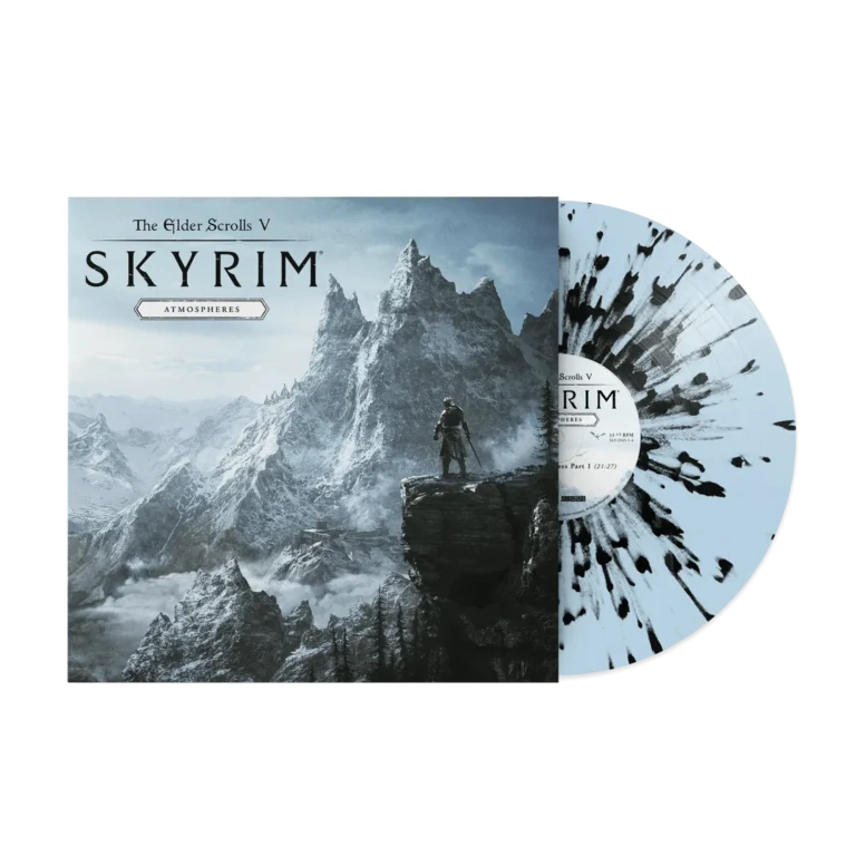
The quiet, wandering ambient music of Skyrim on vinyl. Perfect for reading, working, or pretending you're on the road to Riverwood.
View on Amazon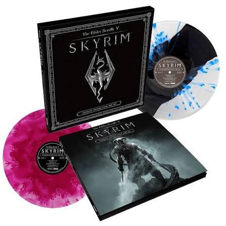
The full official Skyrim score on four records. Play "Dragonborn" loud and see who in the house starts chanting along.
View on AmazonAs an Amazon Associate we earn from qualifying purchases.